
DXing and propagation
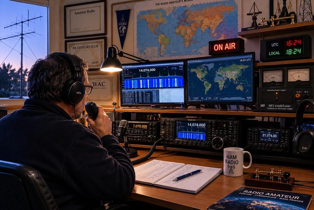
For operators chasing new countries, band slots and distant stations.
- Live DX spots and cluster networks
- DXWatch – a web site intended for amateur radio DX enthusiasts. Their mission is to publish a website which can work as a real DX tool. They try to offer the most advanced webcluster and some dx tools.
- POTACAT – POTACAT is free ham radio software. It puts every POTA, SOTA and DX spot on one screen, tunes your rig with a click, and puts your whole station on your phone.
- Short-path and long-path propagation predictions
- VOACAP: A gold-standard, point-to-point and area-coverage tool based on Voice of America ionospheric models.
- HF DXView: A real-time global map tracking amateur bands from 160m to 6m using live data from WSPR, the Reverse Beacon Network, and DX clusters.
- NOAA Space Weather Prediction Center: Provides live dashboards for solar flux, K-indices, solar wind, and HF radio communications alerts.
- Real-time signal reports and reception maps
- PSK Reporter: Automatically maps reception reports for digital modes (like FT8, JT65, and PSK) sent by monitoring stations worldwide. You can enter your call sign or grid square to see who is hearing your station.
- Reverse Beacon Network (RBN): A global network of automated receivers (“skimmers”) that listen to Morse code (CW), RTTY, and PSK, logging who is transmitting and measuring your signal-to-noise ratio (SNR) in real time. Data can be viewed via apps like the RBN Map
- DX Maps: Tracks active live radio contacts and propagation across HF, 6-meter, 2-meter, and UHF bands, drawing real-time paths from sources like PSK Reporter and DX Clusters.
- GridTracker: Connects directly with digital mode software like WSJT-X to plot live contacts, greyline overlays, and real-time spotting on an interactive map.
- VHF Real Time Propagation (vhf.dxview.org): Specializes in 144 MHz and higher VHF/UHF bands, tracking enhanced long-distance paths driven by tropospheric ducting and APRS-IS data.
Emergency Communications & Public Service
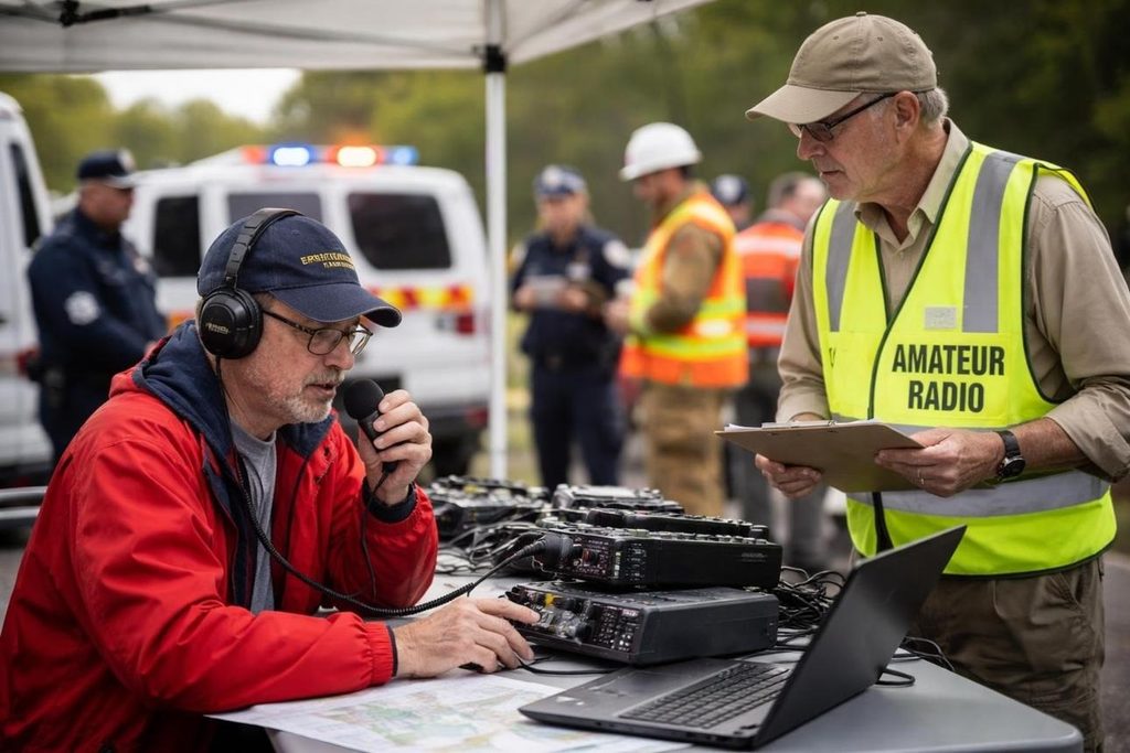
For operators supporting their community.
- Local and regional net schedules
- The club operates an informal net every Friday @ 19:30 AT. Its a great way to test and keep your VHF station in good working order and chat a bit. Tune into the VE9FPG repeater (147.3 MHz. no tone).
- The International Repeater Group (IRG) runs several VHF/UHF nets over their repeater network in the interest of public service and emergencies. Specifically the EMCOMM Net Test on Thursdays @ 21:00 AT and the Weather Nets during the months of November to April, daily @ 07:30 AT. Also check out their Emergency Activation Plans page.
- Emergency communications training and message handling
- Near Vertical Incident Skywave (NVIS) Antennas: Here is an article from Practical Antennas. Using HF for local emergency purposes can be challenging because typical antenna take-of-angles results in a skywave skipping over your targeted area. NVIS antennas solve this problem with their large angle (near 90°) of elevation. However you must be remain under the Critical Frequency.
- Critical Frequency near Fredericton: The closest Ionosonde to Fredericton is located in Massachusetts, USA. The widget to the right acquires the latest critical frequency. NVIS HF transmissions must be kept under this frequency.
Realtime Critical Frequency near Fredericton
Ionospheric data courtesy of Andrew Rodland (KC2G), prop.kc2g.com, and GIRO.
- Public service events and deployment resources
- Emergencies, Government of Canada: Encourages Canadians and communities to learn about the specific risks and hazards in their regions and the actions they can take to help minimize risks, reduce the impact of a disaster and recover following an incident.
- Emergency Preparedness, Government of New Brunswick: Resources for emergency preparedness, links to public alerts, River Watch, and updates on severe storms and wildfires.
Portable and special-interest operating
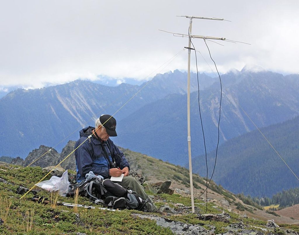
For members who enjoy getting out of the shack or into space.
- Amateur satellites and amateur radio direction finding
- Orbital Radar -Orbital Radar is a live orbital intelligence platform for exploring the increasingly complex environment around Earth. It tracks active satellites, constellations and space debris across every orbital regime.